DEATH Valley
BADWATER Basin. FURNACE Creek. DEVIL’S Golf Course. DANTE’S View. HELL’S Gate. Death Valley is the hottest, driest and lowest National Park in the US and the names of the top sightseeing spots are intimidating. Visiting the park website yields warnings about the weather, carrying enough water and the excessive summer heat. It makes a first visit a bit daunting.
If you want to do any activities besides drive from one air-conditioned building to the next, planning is key for this park. Fortunately, you can comfortably visit the park in autumn, winter, and spring, but know that autumn and spring are short seasons as the summer heat lingers into the fall and it cranks up early in the spring! Fall and winter are less crowded, while spring wildflowers and great weather bring out the visitors in force.
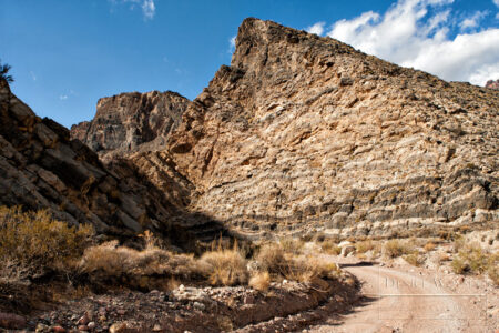
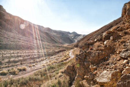
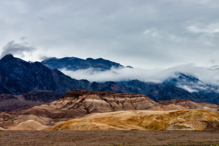
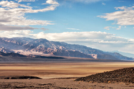
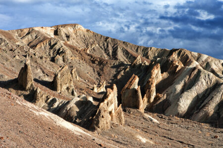
There’s a lot to see and do in the park, and if you’re at all interested in geology, this is the place! For the most part, it’s a barren landscape, but the colors and formations are fascinating and beautiful. Because of the lack of vegetation, the powerful forces that shaped this planet are evident here; in the visible layers, in the exposed minerals, and the erosion that lays bare one area while covering up another.
These are the places I’ve visited, and it isn’t representative of the whole park. As usual, I want to go back!
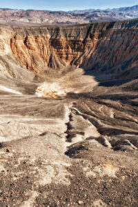
Uebehebe Craters
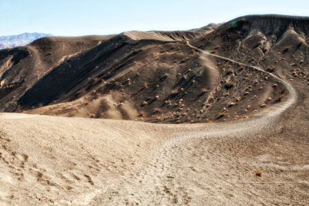
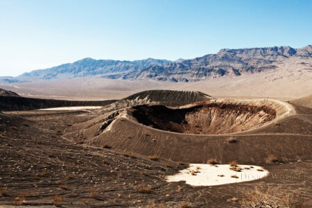
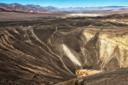
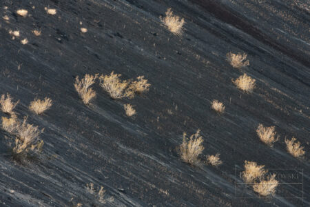
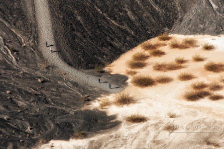
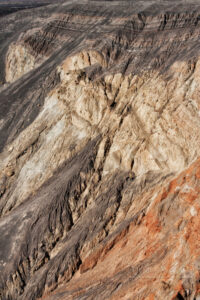
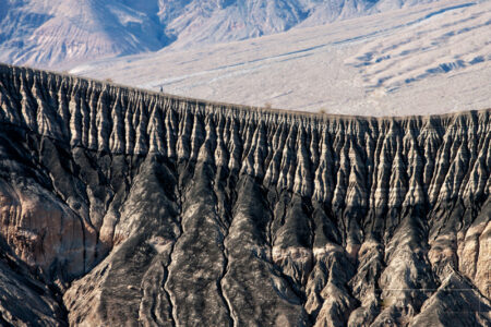
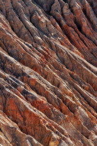
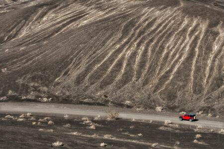
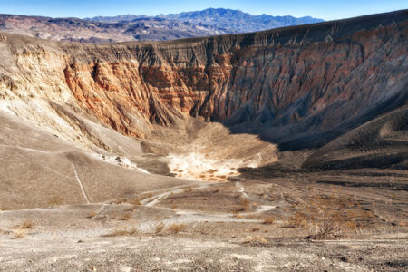
There is at least a dozen craters in the Ubehebe Craters (pronounced YOO-bee-HEE-bee) area in the northern part of Death Valley. The craters are the result of large steam explosions which spewed volcanic rock and cinder in the area. Ubehebe Crater is the largest crater in the field of craters and is 1/2 mile wide and ranges 500-777 feet deep. Little Hebe is a volcanic cone that grew in the middle of another crater and is the only one that shows significant lava deposits. The steam blasts exposed the underlying layers of sediment in the crater. The layers are different colors and thicknesses and contribute to the craters’ colors and beauty.
Titus Canyon Road and Rhyolite
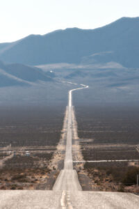
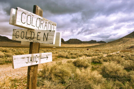
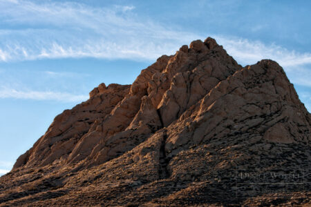
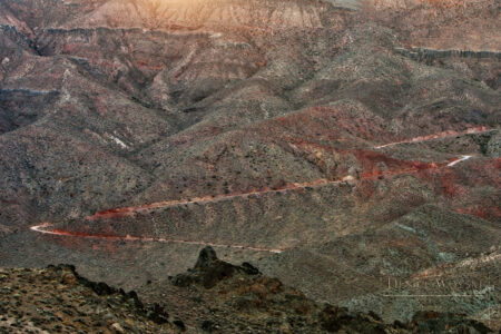
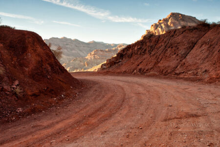
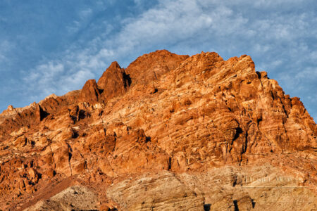
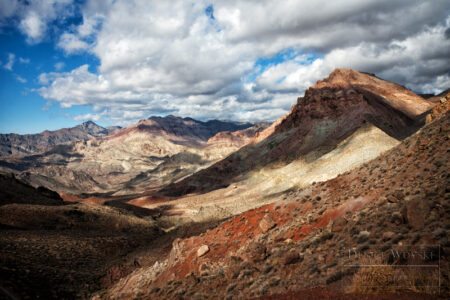
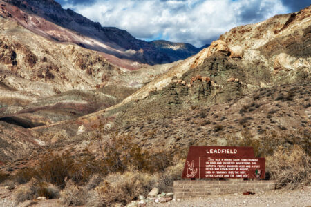
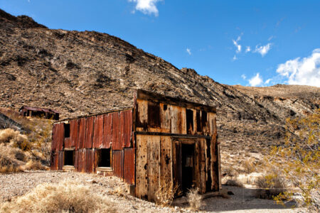
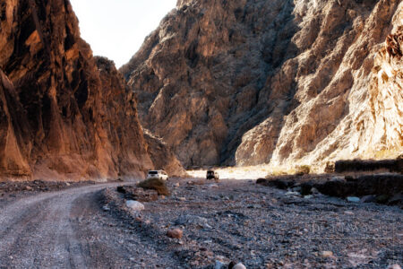
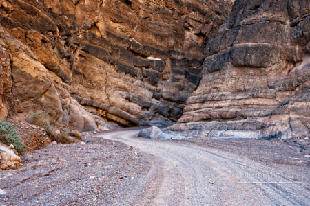
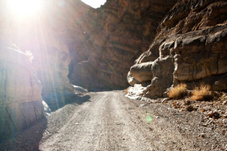
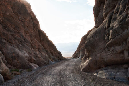
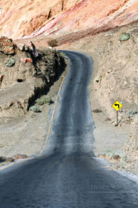
Titus Canyon Road is possibly one of the most exciting drives I’ve ever been on. It straddles two states (California and Nevada) and stretches 27 miles through the rugged terrain of Death Valley. Titus Canyon itself is a narrow gorge in the Grapevine Mountains. Titus Canyon Road has something for everyone; rugged and rocky mountains, colorful rock formations representing a good portion of the color spectrum, (red, orange, yellow, green, purple!), the Leadfield ghost town which dates back to the 1920s, petroglyphs (we stopped but we never found them? let me know if you have!), wildlife and a variety of plants and then spectacular narrows at the end.
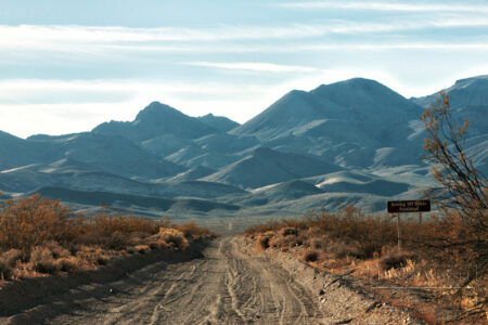
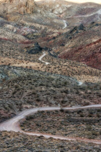
Titus Canyon Road is a one-way dirt road, and it starts on Hwy 374 near Rhyolite. If you just want to see the narrows, you can drive on the 2-way graded dirt road on the west side to a parking lot, then hike to the narrows. It takes 2-3 hours to drive the full length of Titus Canyon Road, but there are scenic turnouts and hikes, so you can make it a much longer drive. Bring food and water! The road is suitable for 2-wheel drive vehicles, but high clearance is recommended and after rain/storm events, there could be washouts and muddy sections. Our drive was a piece of cake – so much so, we did it twice! It’s also popular, so you won’t be alone out there.
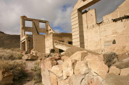
Lots of people start the day at Rhyolite Ghost Town, then venture into Titus Canyon. That’s what we did, but the photos below are from two separate trips to Death Valley and two trips down Titus Canyon Road.
Badwater Basin and Vicinity
One of the most popular Death Valley areas to visit is the Badwater Basin area. There are a lot of scenic areas and some hikes, so you can easily spend a day exploring the area. I’ve been to Death Valley twice now, and I still haven’t seen all of it! I have missed Zabriskie Point and the Twenty Mult Team Canyon as well as some hikes in the area. It will be tough, but I’ll take one for the team and go back!
Badwater Basin
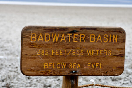
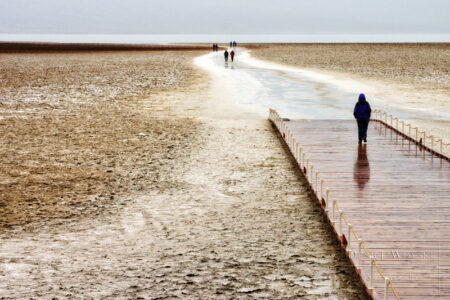
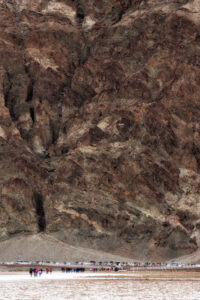
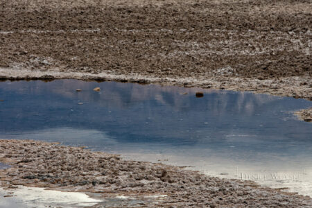
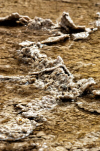
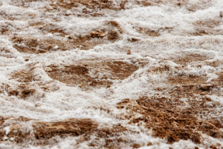
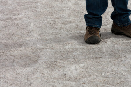
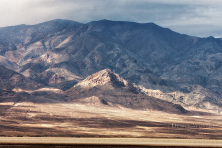
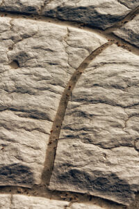
At 282 feet below sea level, Badwater Basin is one of the most popular spots in Death Valley because it is home to the lowest spot in North America. Badwater Basin is a vast salt flat adjacent to the Black Mountains. Interesting tidbit: Mt. Whitney, the highest point in the contiguous 48 states is less than 85 miles away! There is a small, spring-fed pool near the road, but the salt makes it undrinkable, hence, Badwater. Away from the pool, freeze-thaw-evaporation cycles cause the salt crust to form a hexagonal honeycomb pattern. It’s an easy spot to visit and take a stroll into the surreal landscape of a salty shallow basin.
Devils Golf Course
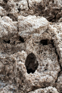
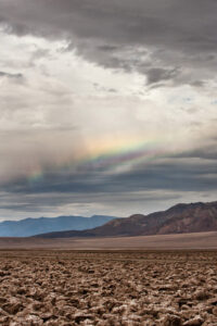
The area now known as the Devil’s Golf Course was once a lake. When the lake evaporated, the salts and minerals that were dissolved in the lake were left behind. Erosion from wind and water created large spikes of sharply edged salt. These spikes are BIG and um…SHARP. I DO NOT recommend flip flops for a foray into this frightening forest of sharply-edged blades of rock salt.
Before Death Valley became a national monument in 1934, the Pacific Coast Borax Company drilled holes into the salt beds of Devil’s Golf Course and they discovered that this salt bed extends to more than 1000 feet deep. Later studies showed that in some places, it is 9000 feet deep. That’s a lot of salt!
Devil’s Golf Course is off Badwater Road and is accessed via a short gravel road. There are no limitations for reaching the parking area, but if you want to walk amongst the salt spires, sturdy shoes and even hiking sticks to keep you steady are recommended. Did I mention the salt spires are SHARP?!
Artist’s Drive
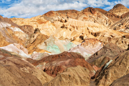
A little further up the road is the turnoff to Artist’s Drive. This is another one-way drive, it is 9 miles long and your vehicle must be less than 25 feet long. Sorry big buses and motorhomes, but you really don’t want to attempt this drive. Artist’s Drive takes you up to the top of an alluvial fan on the Black Mountains. The Artist’s Palette area has brightly-colored hills that are especially scenic in the late afternoon light. The colors result from oxidizing metals; iron produces red, pink and yellow, mica produces green and manganese produces purple!
This is a great spot for a tailgate picnic. The parking area is fairly large, there are pit bathrooms available, but alas, no Starbucks! You’ll have to bring your own refreshments.
Dante’s View
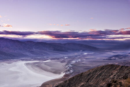
On this trip, our last stop was Dante’s View, named for Dante Alighieri, author The Divine Comedy in which he describes the nine circles of Hell, the seven terraces of Purgatory and the nine spheres of Paradise. Presumably, it was the nine circles of Hell and the seven terraces of Purgatory that inspired the name! Dante’s View is a terrace at about 5,000 ft elevation on the Black Mountains with an amazing bird’s eye view of Death Valley and the Panamint Mountains on the opposite side of the valley. Along with the parking area, there are some hikes and trails here too, but you come to Dante’s View for the view. I probably didn’t need to say that.
Mesquite Flat Sand Dunes
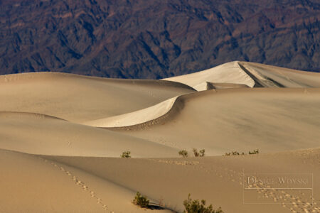
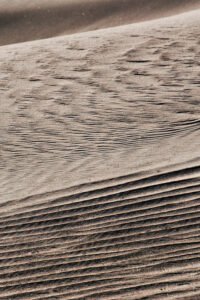
My first trip to Death Valley was in February 2005, and while it was a super bloom year, the weather was still a bit drippy and cloudy. It was great weather for photographing wildflowers, and in some cases, the landscape, but definitely NOT for the sand dunes. Despite getting up early and braving the cold, the flat light produced flat photos. My return trip was in November, and the skies alternated between cloudy and sunny, but never drippy. The light was fabulous and created some amazing scenery, but most of all the sand dunes were illuminated.
I remember being frustrated in 2005 because photographers who had gotten there earlier than we did were traipsing across the dunes, looking for the better shot. So even though the light was flat, there were precious few pristine dunes to photograph. On my second trip, we went late in the day on a day I knew there was sunshine. Imagine my surprise to see a new parking area, bathrooms, lots of cars and people sledding on the dunes! There wasn’t a single pristine dune to photograph, but the light was good!
Going Back
If you’re familiar with my blog, there is a recurring theme in every post – I want to go back. Our national parks are incredible places of discovery and exploration and no matter how much time we think we need in a park, we invariably need more. It’s only after we’ve visited that we realize there is so much more to a park than we thought. And as a photographer – I can’t help but want to go back and photograph a place again – to get the images I missed, to improve on the images I got and to photograph the scenery at different times. I don’t think I will EVER feel like I have truly captured a place, so – I want to go back!

