Sierra Vista Scenic Byway – My New Local Favorite!
I have lived in the Yosemite area for almost 10 years and driving the Sierra Vista Scenic Byway has been on my to-do list. It’s close, a mere 26 miles to one end of the loop. I have no explanation for why it took so long to drive the Byway other than I would forget about it, then remember it, then forget about it, rinse and repeat. In my defense, the complete loop is only open and passable when the snows have cleared, making it an option only 6-ish months out of the year, so there’s that. Still. I should have done it before now. But now that I have…I can’t encourage you enough to drive it!
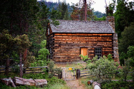
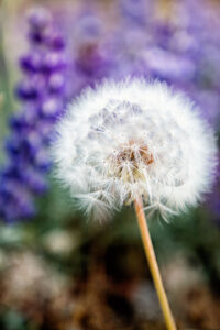
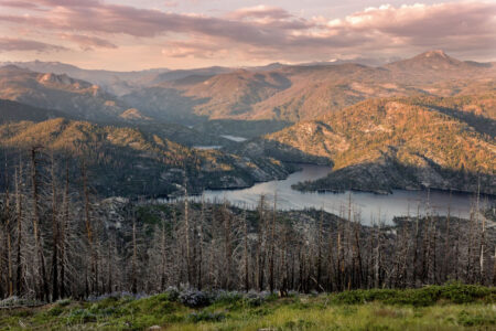
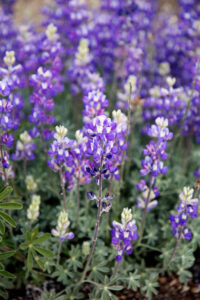
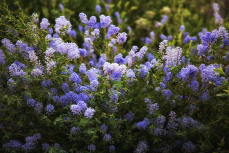
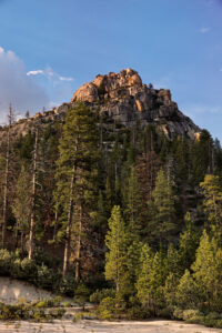
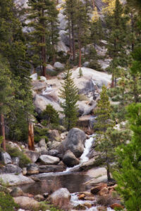
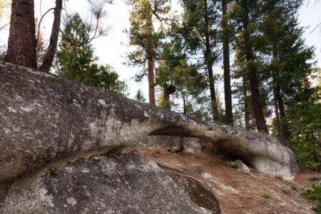
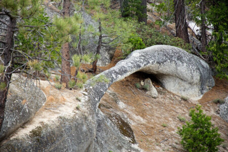
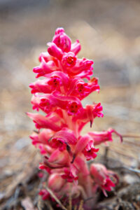
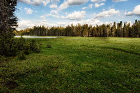
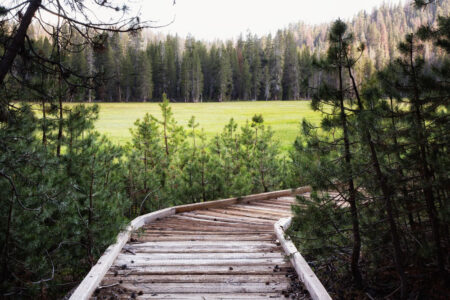
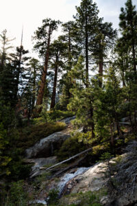
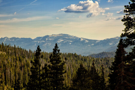
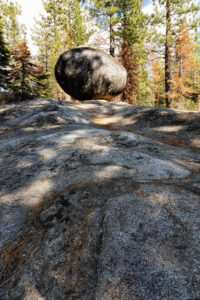
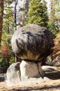
As usual, I’ll be going back because we missed Mammoth Pool and we didn’t make time for hiking. If you’re the outdoorsy type, and if you’re not a fan of crowds, you will love the Byway! We saw about 10 cars on the whole drive and 3 of them were Forest Service. There were numerous trailheads, several secluded campgrounds, points of interest, overlooks with scenic views and a real log cabin. The scenery is incredible with oaks, tall pines, cedars and I am pretty sure I saw a few young sequoias; mountain streams and waterfalls, granite domes, snow-capped peaks, and lush meadows. Lots of wildflowers and flowering dogwoods are a treat in the spring!
Driving Tips
My tips for driving the Sierra Vista Scenic Byway are:
- Check road conditions before you go! The drive takes you to 7000 ft+ elevations. The road is closed when there is snow. It is not plowed.
- One section of the road (8-10 miles) is a mish-mash of dirt, gravel and eroding pavement with potholes. Another section (Nelder Grove area) is a dirt road only. Don’t let this deter you! It’s quite navigable if you drive slowly and with a nimble response to obstacles!
- Plan for a whole day. Start early and expect to finish after dark. If you want to do some great hiking, plan for more time or more days. There are some really nice, primitive campgrounds along the way so you can extend your scenic drive by days.
- Download the map from the link above. It shows the route, points of interest, campgrounds, etc. You’ll notice there is a lack of gas stations or other services.
- The drive starts in lower and warmer elevations and takes you to higher elevations. Plan your outer gear accordingly!
- Bring food and water! There are lots of great spots for a picnic lunch, but you won’t be able to buy anything once you start the byway.*
- *Jones Store at Beasore Meadows is still there, but it wasn’t open when we drove through. I don’t know why. I wish it was! If it’s open when you’re there, perhaps you’ll have the opportunity to get a great burger, fries, and pie a la mode. Wagner’s at Mammoth Pool advertises a store and cafe plus gas. We didn’t drive down to Mammoth Pool, so I can’t vouch for that.
- You can start the drive in two places; near Bass Lake or near North Fork.
- Plan to drive slow! It’s almost 100 miles for the whole loop, but you’ll want to stop often. Also, the road is narrow and twisty and the mish-mash part will definitely have you driving much slower than usual.
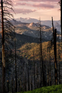
There is incredibly steep terrain, very few visitors or parks along the Sierra Vista Scenic Byway. Fires are a natural part of the ecosystem here – areas of the Sierra Vista Scenic Byway burned recently and will most likely burn again (in fact, as of this date, I believe there is a fire at the southern end of the loop). Don’t let that deter you. Beauty comes in all forms, and while fires can be destructive, they are also responsible for new life!
So, don’t wait 10 years – visit the Sierra Vista Scenic Byway the first chance you get. You will not be disappointed!

